
Distance between  Mataura and
  Maruia
322.68 mi Straight Distance
461.96 mi Driving Distance
8 hours 16 mins Estimated Driving Time
The straight distance between Mataura (Southland) and Maruia (Costa Oeste) is 322.68 mi, but the driving distance is 461.96 mi.
It takes 8 hours 41 mins to go from Mataura to Maruia.
Driving directions from Mataura to Maruia
Distance in kilometers
Straight distance: 519.19 km. Route distance: 743.29 km
Mataura, New Zealand
Latitude: -46.1934 // Longitude: 168.866
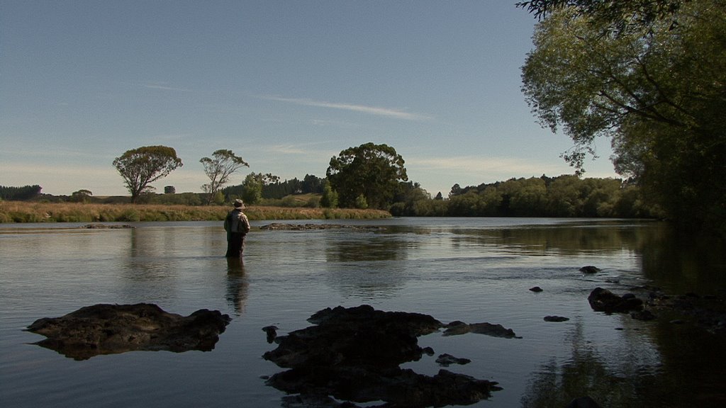
Photos of Mataura


Mataura Weather

Predicción: Light rain
Temperatura: 9.1°
Humedad: 99%
Hora actual: 12:11 PM
Amanece: 07:26 AM
Anochece: 06:00 PM
Maruia, New Zealand
Latitude: -42.1888 // Longitude: 172.22
Photos of Maruia


Maruia Weather
Predicción: Light rain
Temperatura: 12.3°
Humedad: 59%
Hora actual: 12:00 PM
Amanece: 07:07 AM
Anochece: 05:53 PM


