
Distance between  Mataura and
  Levin
Levin
501.66 mi Straight Distance
648.87 mi Driving Distance
14 hours 10 mins Estimated Driving Time
The straight distance between Mataura (Southland) and Levin (Manawatu-Wanganui) is 501.66 mi, but the driving distance is 648.87 mi.
It takes to go from Mataura to Levin.
Driving directions from Mataura to Levin
Distance in kilometers
Straight distance: 807.18 km. Route distance: 1,044.03 km
Mataura, New Zealand
Latitude: -46.1934 // Longitude: 168.866
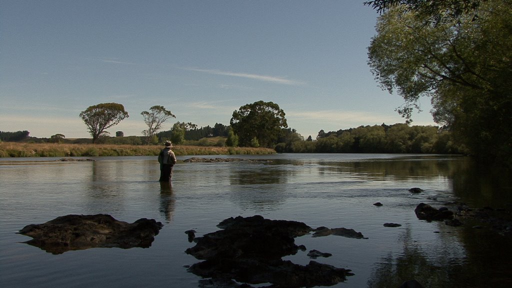
Photos of Mataura


Mataura Weather

Predicción: Clear sky
Temperatura: 11.4°
Humedad: 72%
Hora actual: 01:27 AM
Amanece: 07:26 AM
Anochece: 06:00 PM
Levin, New Zealand
Latitude: -40.6222 // Longitude: 175.286
Photos of Levin


Levin Weather

Predicción: Overcast clouds
Temperatura: 14.3°
Humedad: 72%
Hora actual: 01:27 AM
Amanece: 06:52 AM
Anochece: 05:43 PM


