
Distance between  Mataura and
  Manaia
105.78 mi Straight Distance
230.23 mi Driving Distance
4 hours 14 mins Estimated Driving Time
The straight distance between Mataura (Northland) and Manaia (Waikato) is 105.78 mi, but the driving distance is 230.23 mi.
It takes to go from Mataura to Manaia.
Driving directions from Mataura to Manaia
Distance in kilometers
Straight distance: 170.20 km. Route distance: 370.44 km
Mataura, New Zealand
Latitude: -35.6616 // Longitude: 174.227
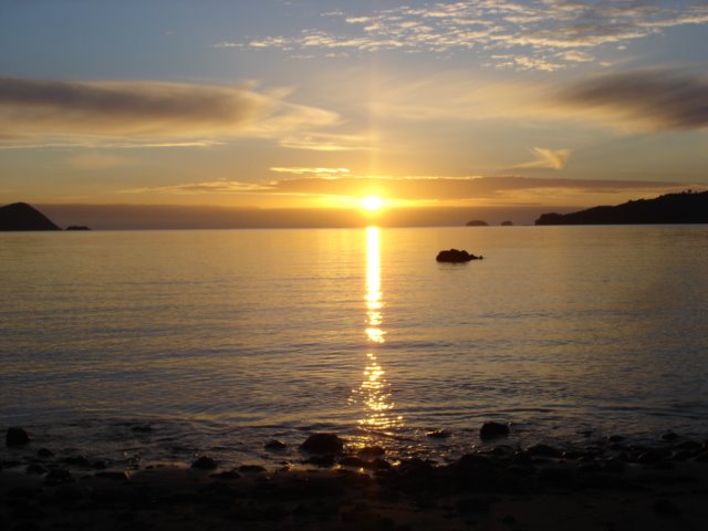
Photos of Mataura


Mataura Weather

Predicción: Overcast clouds
Temperatura: 21.6°
Humedad: 55%
Hora actual: 12:00 AM
Amanece: 06:51 PM
Anochece: 05:52 AM
Manaia, New Zealand
Latitude: -36.789 // Longitude: 175.511
Photos of Manaia


Manaia Weather
Predicción: Overcast clouds
Temperatura: 21.7°
Humedad: 85%
Hora actual: 12:12 PM
Amanece: 06:47 AM
Anochece: 05:47 PM


