
Distance between  Matakohe and
  Manutahi
244.51 mi Straight Distance
348.77 mi Driving Distance
6 hours 14 mins Estimated Driving Time
The straight distance between Matakohe (Northland) and Manutahi (Taranaki) is 244.51 mi, but the driving distance is 348.77 mi.
It takes 6 hours 44 mins to go from Matakohe to Manutahi.
Driving directions from Matakohe to Manutahi
Distance in kilometers
Straight distance: 393.42 km. Route distance: 561.17 km
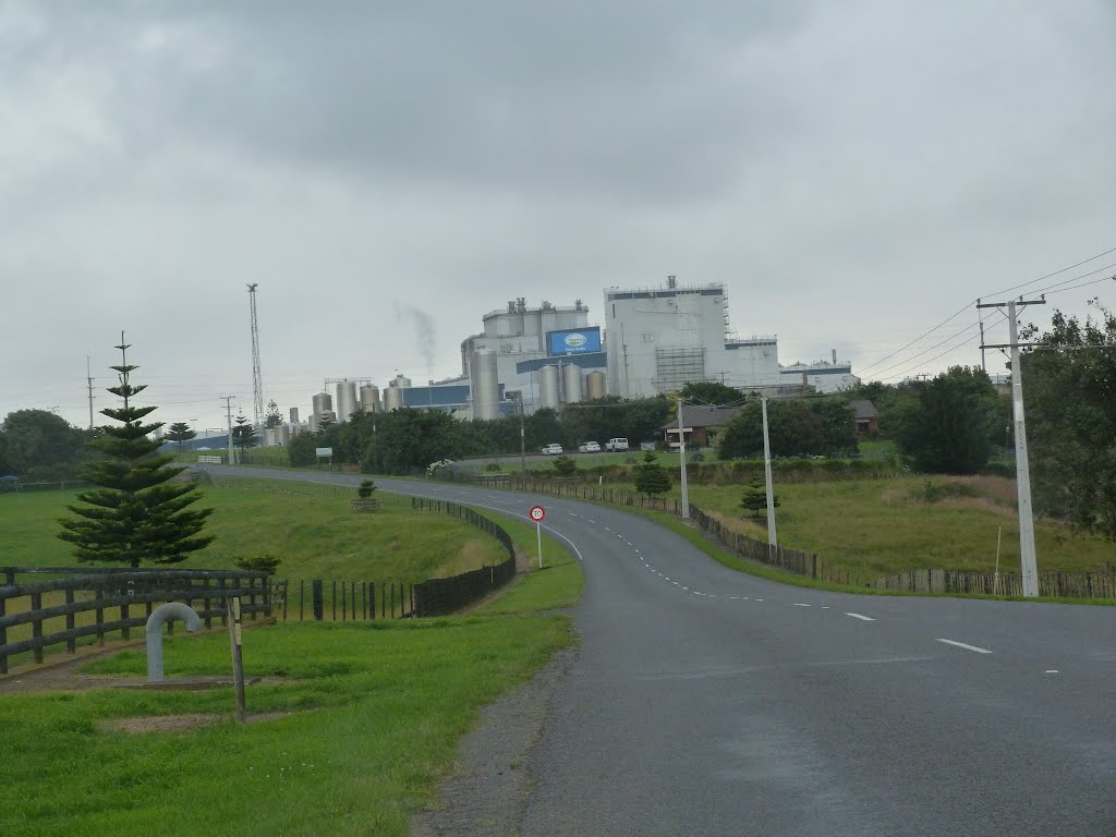
Matakohe, New Zealand
Latitude: -36.1254 // Longitude: 174.187
Photos of Matakohe


Matakohe Weather

Predicción: Clear sky
Temperatura: 18.0°
Humedad: 67%
Hora actual: 12:00 AM
Amanece: 06:49 PM
Anochece: 05:56 AM
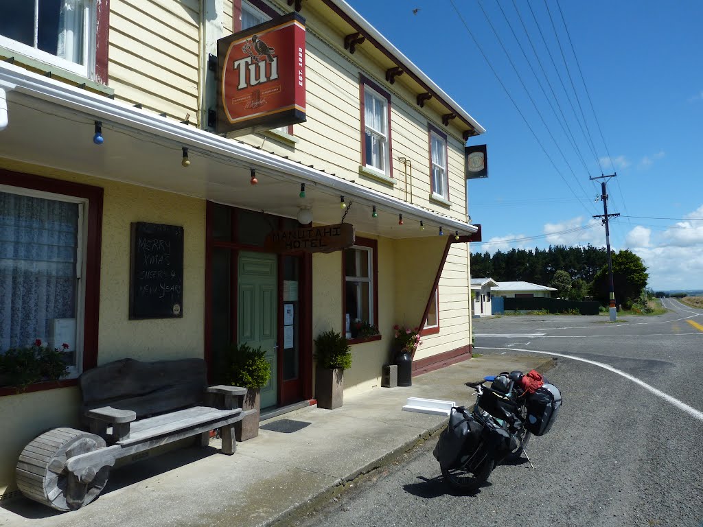
Manutahi, New Zealand
Latitude: -39.6604 // Longitude: 174.396
Photos of Manutahi


Manutahi Weather

Predicción: Few clouds
Temperatura: 15.9°
Humedad: 79%
Hora actual: 12:00 AM
Amanece: 06:52 PM
Anochece: 05:51 AM


