
Distance between  Matakana and
  Kaitaia
117.87 mi Straight Distance
162.44 mi Driving Distance
2 hours 56 mins Estimated Driving Time
The straight distance between Matakana (Auckland) and Kaitaia (Northland) is 117.87 mi, but the driving distance is 162.44 mi.
It takes 3 hours 14 mins to go from Matakana to Kaitaia.
Driving directions from Matakana to Kaitaia
Distance in kilometers
Straight distance: 189.65 km. Route distance: 261.36 km
Matakana, New Zealand
Latitude: -36.3522 // Longitude: 174.718
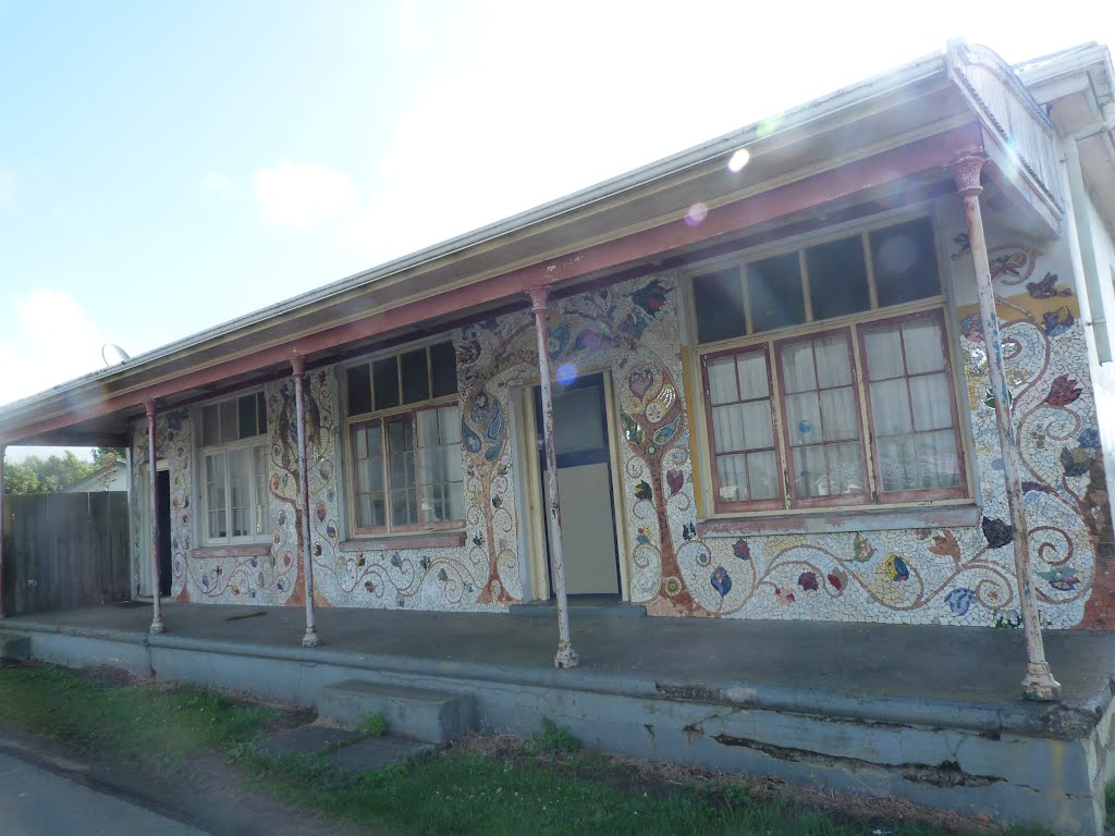
Photos of Matakana


Matakana Weather

Predicción: Clear sky
Temperatura: 14.2°
Humedad: 88%
Hora actual: 09:57 PM
Amanece: 06:47 AM
Anochece: 05:54 PM
Kaitaia, New Zealand
Latitude: -35.1173 // Longitude: 173.268
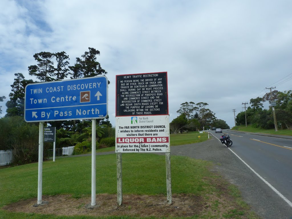
Photos of Kaitaia


Kaitaia Weather

Predicción: Scattered clouds
Temperatura: 12.7°
Humedad: 92%
Hora actual: 09:57 PM
Amanece: 06:51 AM
Anochece: 06:01 PM


