
Distance between  Mangawhai and
  Leeston
541.16 mi Straight Distance
756.73 mi Driving Distance
15 hours 56 mins Estimated Driving Time
The straight distance between Mangawhai (Northland) and Leeston (Canterbury) is 541.16 mi, but the driving distance is 756.73 mi.
It takes to go from Mangawhai to Leeston.
Driving directions from Mangawhai to Leeston
Distance in kilometers
Straight distance: 870.73 km. Route distance: 1,217.58 km
Mangawhai, New Zealand
Latitude: -36.1262 // Longitude: 174.574
Photos of Mangawhai


Mangawhai Weather

Predicción: Clear sky
Temperatura: 13.4°
Humedad: 91%
Hora actual: 12:00 AM
Amanece: 06:47 PM
Anochece: 05:54 AM
Leeston, New Zealand
Latitude: -43.7626 // Longitude: 172.298
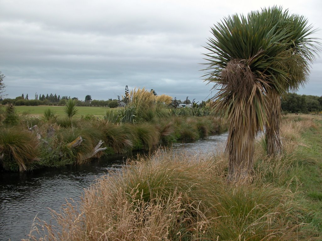
Photos of Leeston


Leeston Weather

Predicción: Overcast clouds
Temperatura: 11.3°
Humedad: 88%
Hora actual: 01:25 AM
Amanece: 07:06 AM
Anochece: 05:53 PM


