
Distance between  Herekino and
  Harihari
562.85 mi Straight Distance
956.69 mi Driving Distance
19 hours 36 mins Estimated Driving Time
The straight distance between Herekino (Northland) and Harihari (Costa Oeste) is 562.85 mi, but the driving distance is 956.69 mi.
It takes 20 hours 47 mins to go from Herekino to Harihari.
Driving directions from Herekino to Harihari
Distance in kilometers
Straight distance: 905.62 km. Route distance: 1,539.31 km
Herekino, New Zealand
Latitude: -35.2659 // Longitude: 173.211
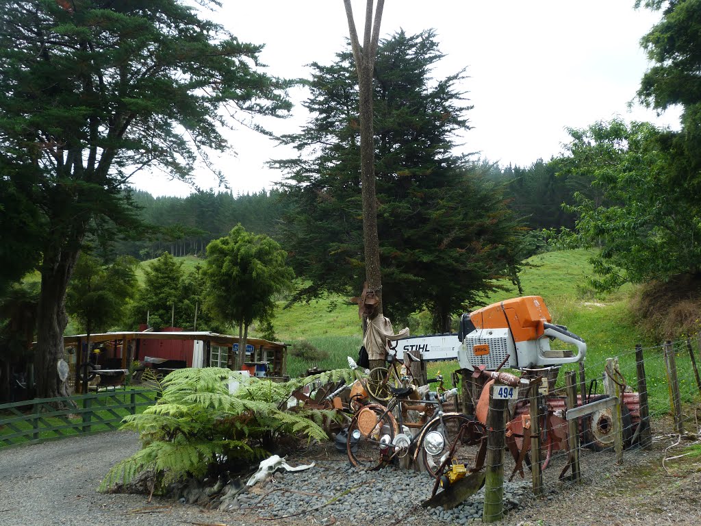
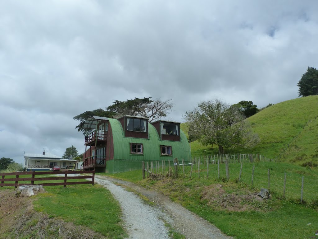
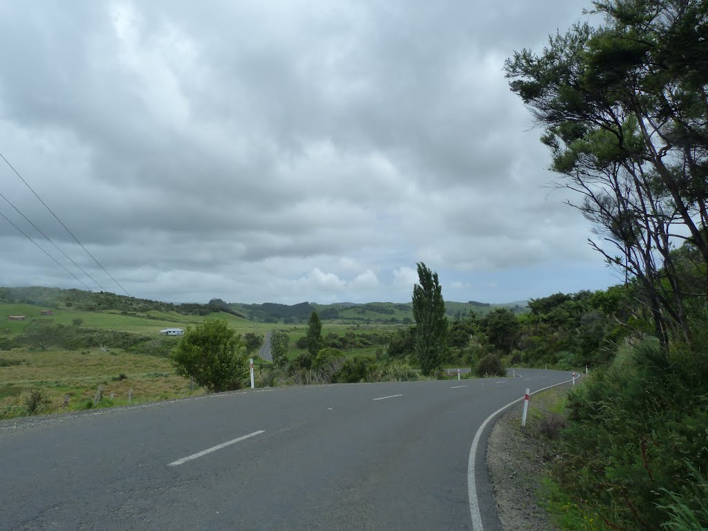
Photos of Herekino


Herekino Weather

Predicción: Overcast clouds
Temperatura: 21.6°
Humedad: 70%
Hora actual: 12:00 AM
Amanece: 06:54 PM
Anochece: 05:57 AM
Harihari, New Zealand
Latitude: -43.1483 // Longitude: 170.551
Photos of Harihari


Harihari Weather

Predicción: Light rain
Temperatura: 12.2°
Humedad: 83%
Hora actual: 12:00 AM
Amanece: 07:15 PM
Anochece: 05:57 AM


