
Distance between  Herbertville and
  Waiotira
335.38 mi Straight Distance
441.77 mi Driving Distance
8 hours 7 mins Estimated Driving Time
The straight distance between Herbertville (Manawatu-Wanganui) and Waiotira (Northland) is 335.38 mi, but the driving distance is 441.77 mi.
It takes to go from Herbertville to Waiotira.
Driving directions from Herbertville to Waiotira
Distance in kilometers
Straight distance: 539.63 km. Route distance: 710.81 km
Herbertville, New Zealand
Latitude: -40.4386 // Longitude: 176.51
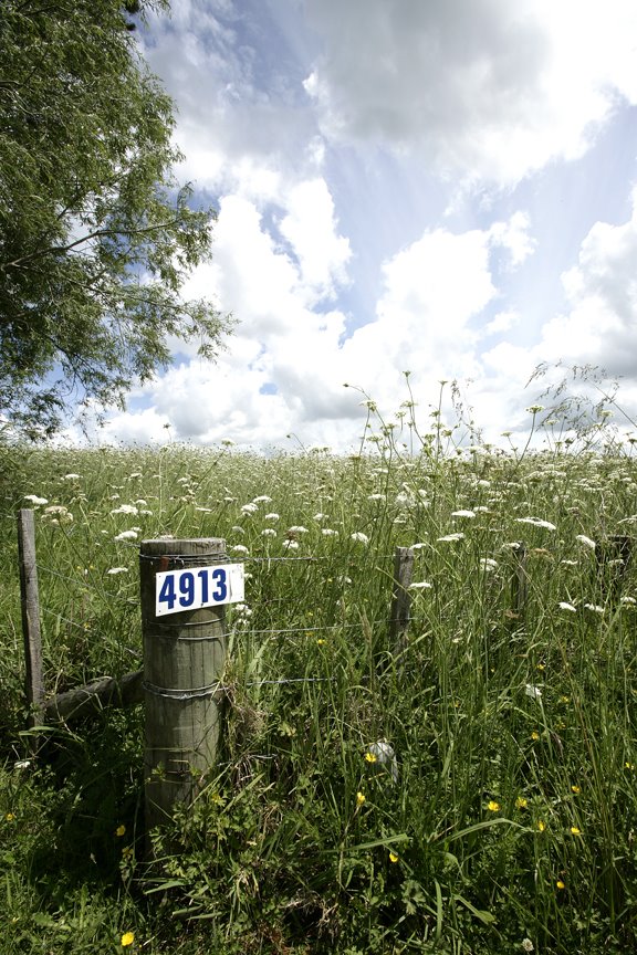
Photos of Herbertville


Herbertville Weather

Predicción: Broken clouds
Temperatura: 15.8°
Humedad: 77%
Hora actual: 12:00 AM
Amanece: 06:45 PM
Anochece: 05:42 AM
Waiotira, New Zealand
Latitude: -35.9357 // Longitude: 174.202
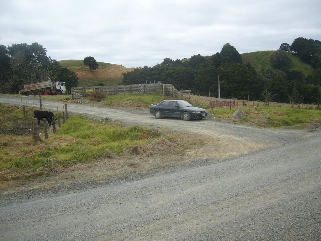
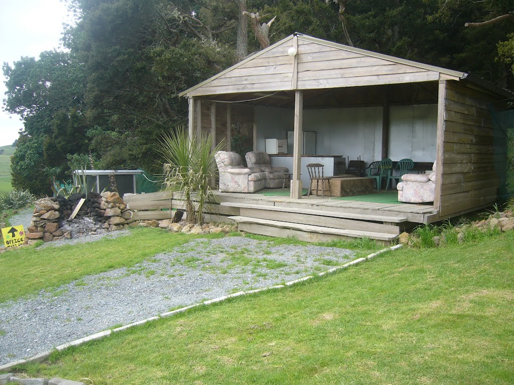
Photos of Waiotira


Waiotira Weather

Predicción: Clear sky
Temperatura: 10.1°
Humedad: 100%
Hora actual: 12:00 AM
Amanece: 06:49 PM
Anochece: 05:56 AM


