
Distance between  Dairy Flat and
  Ahaura
425.91 mi Straight Distance
674.47 mi Driving Distance
14 hours 20 mins Estimated Driving Time
The straight distance between Dairy Flat (Auckland) and Ahaura (Costa Oeste) is 425.91 mi, but the driving distance is 674.47 mi.
It takes to go from Dairy Flat to Ahaura.
Driving directions from Dairy Flat to Ahaura
Distance in kilometers
Straight distance: 685.28 km. Route distance: 1,085.23 km
Dairy Flat, New Zealand
Latitude: -36.6665 // Longitude: 174.639
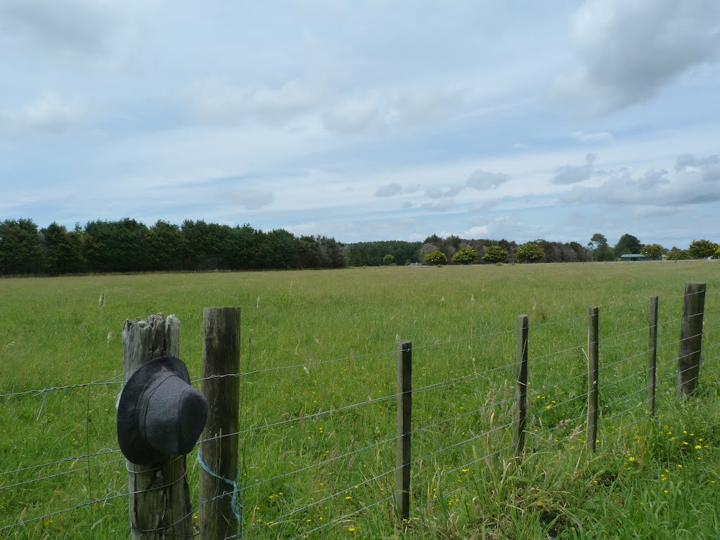
Photos of Dairy Flat


Dairy Flat Weather

Predicción: Clear sky
Temperatura: 13.6°
Humedad: 94%
Hora actual: 04:58 AM
Amanece: 06:48 AM
Anochece: 05:53 PM
Ahaura, New Zealand
Latitude: -42.3494 // Longitude: 171.54
Photos of Ahaura


Ahaura Weather

Predicción: Overcast clouds
Temperatura: 12.0°
Humedad: 100%
Hora actual: 04:58 AM
Amanece: 07:07 AM
Anochece: 05:58 PM


