
Distance between  Auroa and
  Aranga
259.67 mi Straight Distance
396.04 mi Driving Distance
7 hours 29 mins Estimated Driving Time
The straight distance between Auroa (Taranaki) and Aranga (Northland) is 259.67 mi, but the driving distance is 396.04 mi.
It takes 7 hours 53 mins to go from Auroa to Aranga.
Driving directions from Auroa to Aranga
Distance in kilometers
Straight distance: 417.81 km. Route distance: 637.23 km
Auroa, New Zealand
Latitude: -39.4835 // Longitude: 174.044
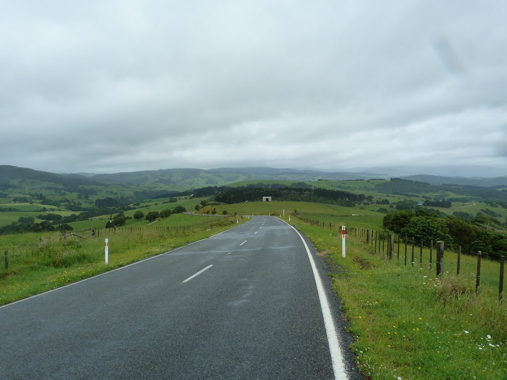
Photos of Auroa


Auroa Weather

Predicción: Scattered clouds
Temperatura: 14.9°
Humedad: 85%
Hora actual: 03:18 AM
Amanece: 06:54 AM
Anochece: 05:52 PM
Aranga, New Zealand
Latitude: -35.7407 // Longitude: 173.614
Photos of Aranga


Aranga Weather

Predicción: Few clouds
Temperatura: 14.0°
Humedad: 86%
Hora actual: 12:00 PM
Amanece: 06:51 AM
Anochece: 05:58 PM


