
Distance between  Arapohue and
  Albert Town
651.08 mi Straight Distance
1,034.95 mi Driving Distance
20 hours 40 mins Estimated Driving Time
The straight distance between Arapohue (Northland) and Albert Town (Otago) is 651.08 mi, but the driving distance is 1,034.95 mi.
It takes 22 hours 23 mins to go from Arapohue to Albert Town.
Driving directions from Arapohue to Albert Town
Distance in kilometers
Straight distance: 1,047.58 km. Route distance: 1,665.24 km
Arapohue, New Zealand
Latitude: -35.9848 // Longitude: 173.958
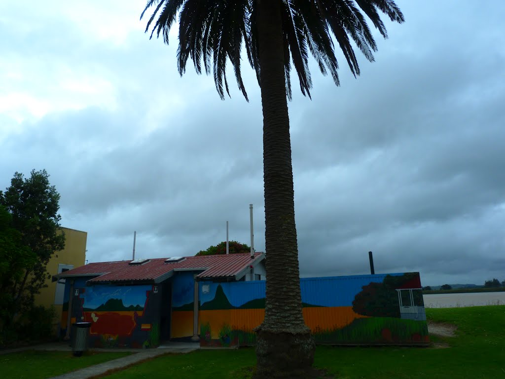
Photos of Arapohue


Arapohue Weather

Predicción: Overcast clouds
Temperatura: 21.1°
Humedad: 65%
Hora actual: 02:06 PM
Amanece: 06:52 AM
Anochece: 05:54 PM
Albert Town, New Zealand
Latitude: -44.6836 // Longitude: 169.19
Photos of Albert Town


")

")
Albert Town Weather
Predicción: Overcast clouds
Temperatura: 11.7°
Humedad: 74%
Hora actual: 02:06 PM
Amanece: 07:22 AM
Anochece: 06:01 PM


